

· AFX Research
Mineral Interests That Span Two Counties, and the Record
Each county index covers its own ground and nothing else. A complete search of one county is a complete answer about part of your tract, and it reads identically.
Table of Contents
A family holds a severed mineral interest under a section that straddles a county line. They order a search, it comes back clean and correctly performed, and it covers about sixty percent of what they own. Nothing about the report is wrong. It answered the question it was asked in the county it was asked about, and the rest of the interest lies in the next county where nobody looked. This is the quietest failure in mineral title work, and it is entirely avoidable.
Why interests cross the line
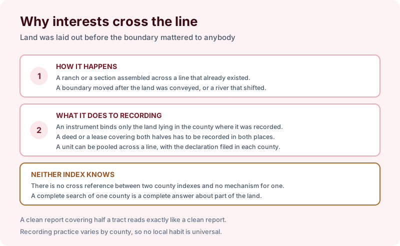
It happens for ordinary reasons. A ranch or a section assembled across a line that already existed. A boundary moved after the land was conveyed. A river that formed the boundary and then shifted. Land laid out by somebody who cared about the creek and the grass rather than about a line on a map.
What it does to recording is the consequential part. An instrument binds only the land lying in the county where it was recorded. A deed or a lease covering both halves has to be recorded in both places to reach both halves. A unit pooled across a line needs its declaration filed in each county, which is a wrinkle on the mechanism in pooling and unitization.
And neither index knows about the other. There is no cross reference, no flag and no mechanism that would produce one. A complete search of one county is a complete and accurate answer about part of the tract, and a complete accurate answer about part of something reads exactly like a complete answer.
What has to happen twice
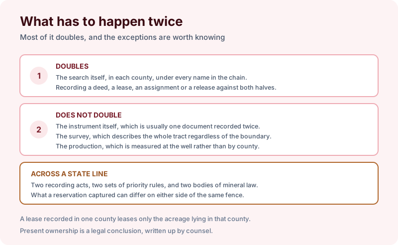
Most of it doubles. The search itself, in each county, under every name in the chain. Recording a deed, a lease, an assignment or a release, if it is to affect both halves.
A few things do not. The instrument is usually one document recorded twice rather than two documents. The survey describes the whole tract regardless of the boundary. Production is measured at the well rather than allocated by county.
Across a state line it goes further, because the law changes as well as the office. Two recording acts, two sets of priority rules, and two bodies of mineral law, which means what a reservation captured can differ on either side of the same fence. That is the problem in salt and potash rights, arriving through geography rather than through wording.
How the consequences show up
Three ways, and each is expensive.
A lease that covers less than everybody thinks. An operator leases the tract, records in one county, and the acreage in the other county is unleased. Whether that is discovered before or after a well is drilled determines how bad it is.
A release that clears half a cloud. An old lease released in one county remains live on the index in the other, and a landman forty years later reads it as an encumbrance.
A payment that goes to the wrong person, or into suspense, because the division order was built from a runsheet that covered one county. That is a frequent contributor to unclaimed royalties and suspended funds.
The signals are usually already in the paperwork. Two tax statements for what everybody calls one property. Deeded acreage that exceeds the acreage on either roll. A description calling for a county line as a boundary.
Scoping the search
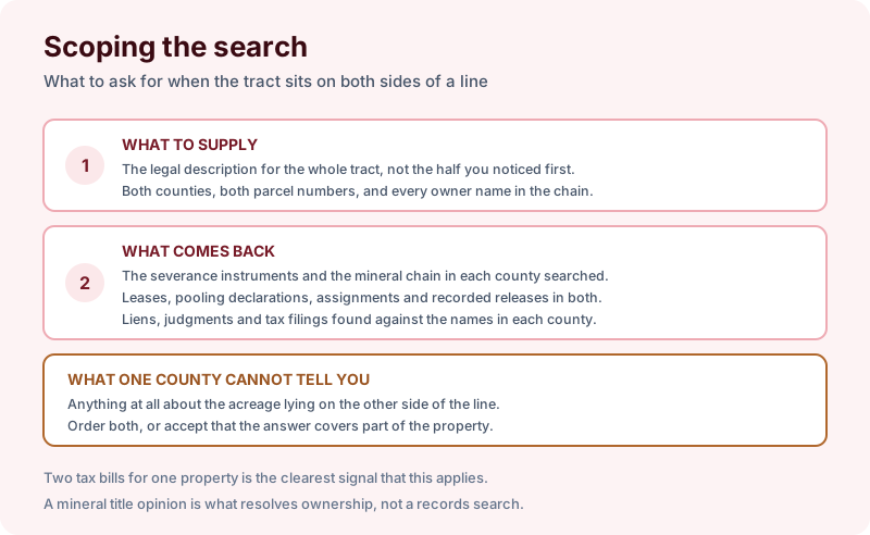
Give us the legal description for the whole tract rather than the half you noticed first, both counties, both parcel numbers, and every owner name in the chain. What comes back is the severance instruments and the mineral chain in each county searched, the leases, pooling declarations, assignments and recorded releases in both, and the liens and judgments found against the names in each.
What one county cannot tell you is anything at all about the acreage on the other side of the line. Order both, or accept that the answer covers part of the property. A search reports what was recorded and indexed in the county searched over the term searched, and present mineral ownership remains a legal conclusion written up as a mineral title opinion by counsel.
The takeaway
The failure here is not a bad search. It is a good search of the wrong half, and nothing in the report announces it. Check the description for a county line before you order, and if one is there, order both. Start the order online, or send us the legal description and both counties and we will tell you which term fits and what a search of that scope would and would not cover before anything is ordered.