

· AFX Research
The Rule of Capture, and What a Mineral Records Search Shows
Oil and gas belong to whoever lawfully produces them, even where they migrated. What the county record establishes about that, and the question it cannot reach.
Table of Contents
A landowner watches a well go in on the tract next door and starts doing arithmetic about what is underneath her own acreage. The question she is asking is as old as the industry, and the answer begins with a doctrine that sounds unfair the first time anybody hears it. Oil and gas belong to the person who lawfully brings them to the surface, even where the hydrocarbon migrated from beneath somebody else’s land. Modern regulation has narrowed that considerably. It has not abolished it.
What the rule of capture says
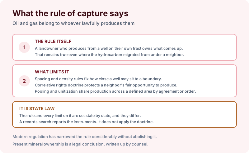
The rule itself is simple. A landowner who produces from a well on their own tract owns what comes out of it, and the fact that some of it drained from under a neighbor does not create a claim. Hydrocarbons move through a reservoir, nobody can say precisely whose molecule arrived at whose wellbore, and early courts resolved the problem by refusing to try.
What limits the rule is a century of regulation layered on top. Spacing and density rules fix how close a well may sit to a property line and how many may be drilled in a given area. Correlative rights doctrine protects each owner’s fair opportunity to produce from a common reservoir. And pooling and unitization share production across a defined area by agreement or by regulatory order, which is the mechanism described in pooling and unitization.
Every one of those is state law, and they differ meaningfully between states. A records search reports the instruments. It does not apply the doctrine, which is a legal exercise for counsel.
What the record can show
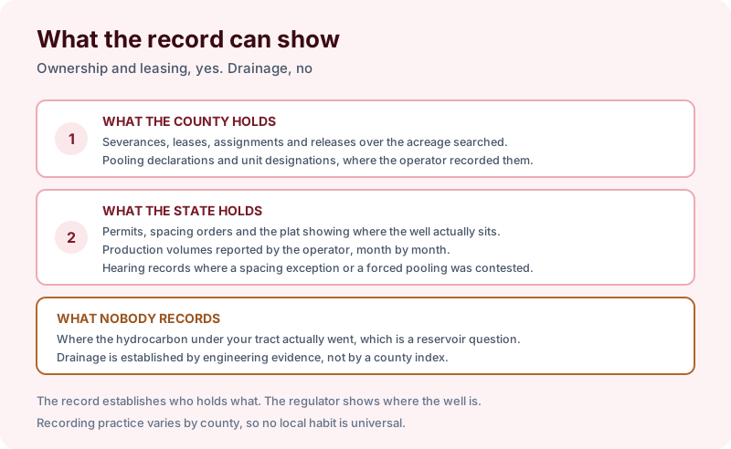
The county holds the ownership picture. Severances, leases, assignments and releases over the acreage searched, plus pooling declarations and unit designations where the operator recorded them. That establishes who holds what, which is the necessary starting point for any argument about anything.
The state holds the operational picture. Permits, spacing orders, the plat showing where the well actually sits, production volumes reported month by month, and the hearing records where a spacing exception or a forced pooling was contested. None of that is a county record.
And nobody records drainage. Where the hydrocarbon under a particular tract actually went is a reservoir engineering question answered with pressure data and modeling, not with a county index. A search cannot establish it and does not claim to.
What an owner can actually do
Three things, and they are more useful than the doctrine makes them sound.
Get leased. The simplest protection against drainage is participation. An unleased owner inside a drilling area has the least protection, and the leasing letter that arrives is usually the moment to understand the position rather than the moment to object to it.
Participate in the unit. Where a unit is being formed, the acreage inside it shares production regardless of where the wellbore sits. Forced pooling exists in many states precisely so that an owner who cannot be found or will not sign is still accounted for.
Appear at the hearing. Spacing exceptions and unit applications are decided at the agency, on a short calendar, and the record of ownership is what establishes standing to be heard. That is the same dependency described in who gets notice when a well is permitted.
Scoping the search
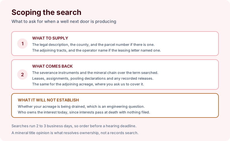
Give us the legal description, the county, the parcel number if there is one, the adjoining tracts, and the operator name if a leasing letter named one. What comes back is the severance instruments and the mineral chain over the term searched, the leases, assignments, pooling declarations and recorded releases, and the same for adjoining acreage where you ask us to cover it. Our search packages set out the terms.
What it will not establish is whether your acreage is being drained, or who owns the interest today, since interests pass at death with nothing filed in the county. Present ownership is a legal conclusion set out in a mineral title opinion.
The takeaway
The rule of capture still decides who owns produced hydrocarbons, and the modern answer to it is participation rather than litigation. The record establishes your position, the regulator shows where the wells are, and an engineer answers the drainage question if anybody needs it answered. Start the order online, or send us the address and the county and we will tell you which term fits and what a search of that scope would and would not cover before anything is ordered.