

· AFX Research
Seismic Permits and What They Let a Crew Do on Your Land
A geophysical permit buys the right to survey for a few weeks, not to drill. Who has to sign one on a severed tract, what usually gets recorded, and what a search can confirm.
Table of Contents
The first sign that somebody is interested in the rock under a tract is rarely a lease offer. It is a phone call or a letter asking permission to run a survey, and a crew flagging lines across a pasture a few weeks later. That document is a geophysical or seismic permit, and it is a much smaller thing than the lease people assume it must be. Understanding the difference is the same work as telling an oil and gas lease from a mineral deed, which is to say it comes down to reading what the instrument actually grants.
What the permit buys
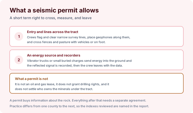
A seismic survey works by putting energy into the ground and listening to what comes back. Crews flag narrow lines across the tract, clear a path along them where they have to, and lay out geophones to record. The energy source is either a vibrator truck that shakes a plate against the ground or, in rougher country, a small charge set in a shallow shot hole.
The permit that allows this is short in duration and narrow in scope. It grants entry, the right to place equipment, and the right to take the data away. It typically runs for a defined season or project window and ends on its own terms.
What it does not do is just as important. A permit is not an oil and gas lease. It does not grant the right to drill a well, it does not commit anyone to paying a bonus or a royalty, and it does not resolve who owns the minerals underneath. Signing one is not agreeing to a lease, and refusing one is not refusing a lease either.
Who actually has to sign
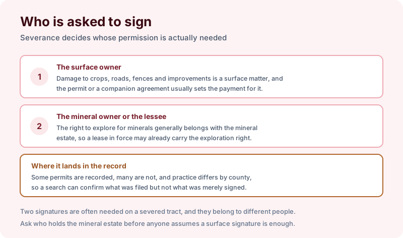
On a tract where surface and minerals are held together, one signature covers it. Where the estate has been severed, the answer splits, and this is where landowners most often get surprised.
Damage to crops, fences, roads, and improvements is a surface matter, so the surface owner is the party who negotiates payment for it. The right to explore for minerals, on the other hand, generally travels with the mineral estate, and in many places an oil and gas lease already in force carries the exploration right with it. That means a crew can sometimes have a legitimate right to survey without the surface owner having agreed to the survey itself, only to the terms of the damage payment. The dominant estate question sitting underneath that is the one covered in mineral rights versus surface rights, and how it resolves is a matter of state law and of the wording in the severance.
Whether the permit reaches the county record at all varies. Some are recorded, many are not, and practice differs from one county to the next. A records search can confirm what was filed. It cannot confirm what was merely signed and put in a drawer.
What a search can establish
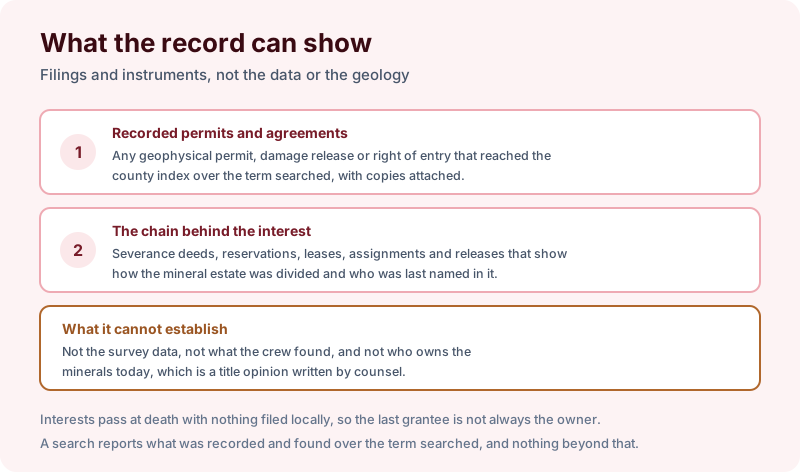
A search over the tract returns any geophysical permit, right of entry, or damage release that reached the index over the term searched, with copies attached. More usefully, it returns the chain behind the interest. Severance deeds, reservations, leases, assignments, and releases together show how the mineral estate was divided and who was last named as taking it.
That is the material a landowner needs before responding to a permit request, because the reasonable question is not whether to allow a survey. It is who holds the minerals, whether a lease is already in force, and what that lease lets the lessee do without asking again. Our process produces the instruments themselves rather than a summary, and searches usually return in 2–3 business days.
What no search can do is establish present ownership. Interests pass at death with nothing filed in the county, so the last grantee of record is not necessarily the owner today, and a mineral title opinion written by counsel is what settles that. A search also does not report well permits or production, which are held by state regulators rather than the recorder, and it does not value an interest.
The takeaway
Treat a permit request as a prompt to find out what you own rather than as an offer to accept or decline. Pull the severance and lease chain first, establish whether an existing lease already carries the exploration right, and negotiate surface damages knowing which estate you are actually speaking for. Start the order online, or send us the address and the county and we will tell you which term fits and what a search of that scope would and would not cover before anything is ordered.